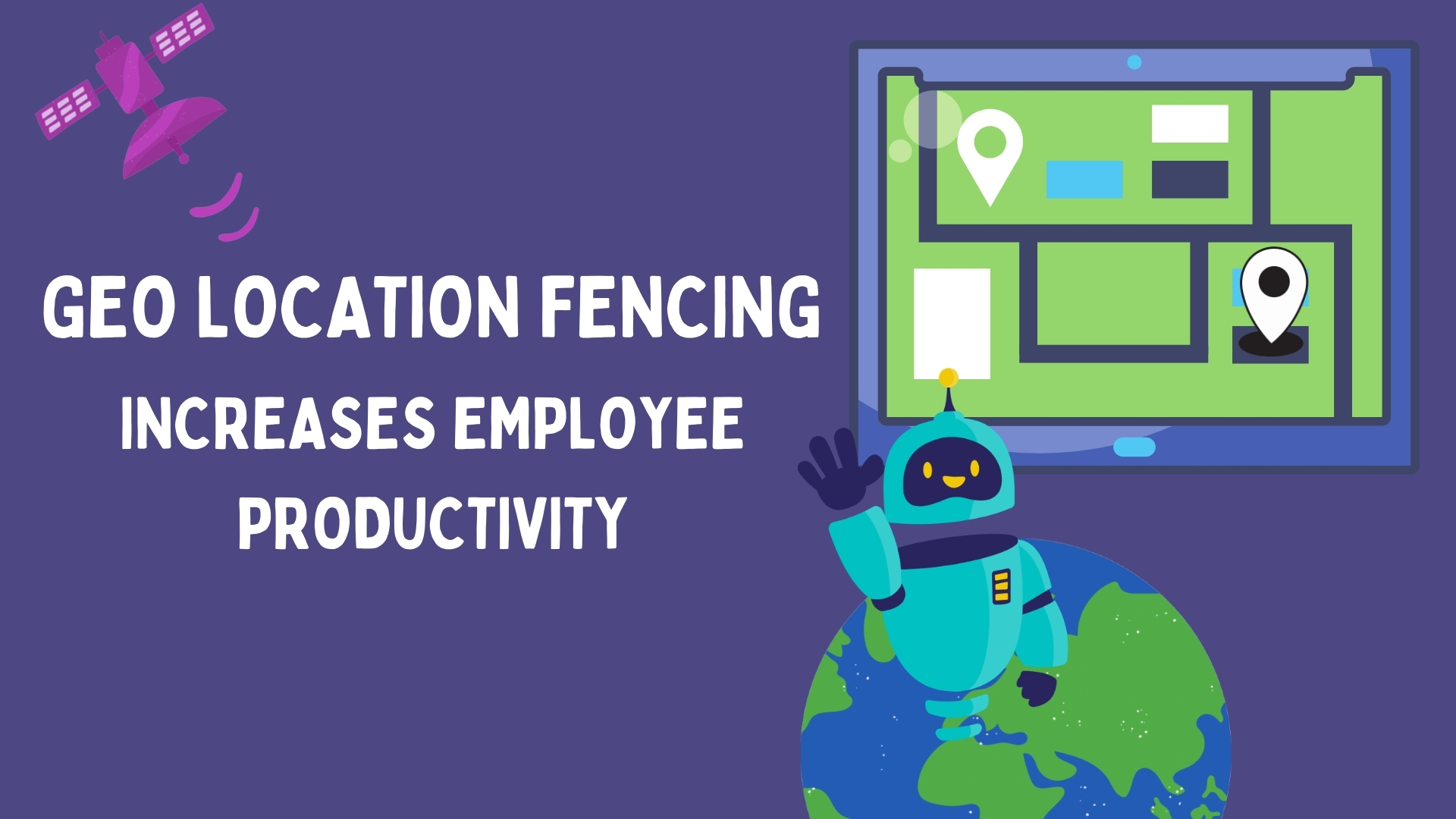
Google recently rolled out a significant AI-driven update to Google Maps, introducing a builder agent, a styling agent, Grounding Lite, and MCP server integration. These tools allow developers and even non-technical users to create interactive, customised maps using simple language prompts. What previously required heavy coding and API expertise can now be done in minutes.
For businesses that rely on location data for field operations, this update is not just a mapping upgrade. It signals a broader shift toward AI-native location intelligence that will eventually reshape how attendance tracking, route verification, and field visibility work in platforms like sales force automation (SFA) systems.
This article breaks down what Google changed, what it means for GPS-based attendance and field tracking, and where this is heading for Malaysian businesses managing distributed teams.
Table of Contents
What Google Actually Changed in Maps
The update introduces four capabilities that matter for business applications:
Builder Agent
A natural-language tool that lets users create map-based applications by describing what they want. Instead of writing code to plot store locations, calculate distances, or create geographic filters, a user can type a prompt like "show me all outlets visited this week colour-coded by visit status" and the agent generates the interactive map. For field operations teams, this reduces the barrier to creating custom map views of territory coverage, visit heatmaps, and daily movement paths.
Styling Agent
Enables custom visual themes for maps without design expertise. Enterprise teams can create branded map views for presentations, audits, and management reviews. An FMCG company in Selangor reviewing store coverage across the Klang Valley can now generate a map that matches their corporate styling and shows exactly which outlets were visited, which were skipped, and where competitors have stronger presence.
Grounding Lite
Provides better real-world context to AI systems by grounding their outputs in actual geographic data. For attendance and field tracking, this means more precise location recognition, smarter validation of GPS coordinates against known addresses, and better detection of location inconsistencies. If a field rep's GPS signal places them at a location that Grounding Lite recognises as a residential area rather than the commercial outlet they claim to be visiting, the system can flag this discrepancy.
MCP Server Integration
Allows third-party platforms to connect with Google Maps AI capabilities through a standardised protocol. SFA and CRM platforms that currently use basic Google Maps for store location display and route planning can now access these richer AI capabilities, potentially enabling smarter geofencing, better address validation, and more sophisticated movement analysis.
What This Means for GPS-Based Attendance and Field Tracking
SFA platforms already use GPS coordinates to verify field attendance. When a rep checks in at a store in Petaling Jaya, the system records the GPS location and timestamps it. The existing process works, but it has known limitations: GPS accuracy can drift by 10 to 50 metres in urban areas, spoofing apps can fake GPS signals, and there is no contextual intelligence about whether the reported location makes sense for the claimed activity.
Google Maps AI improvements address several of these gaps:
- Better location validation. Grounding Lite adds a contextual layer to raw GPS coordinates. Instead of just recording "latitude X, longitude Y," the system can verify that the coordinates correspond to a commercial establishment, match the type of outlet the rep claims to be visiting, and flag coordinates that fall in unexpected locations like highways, residential areas, or bodies of water.
- Smarter spoofing detection. When AI understands the real-world context of a location, it becomes harder for spoofing tools to generate convincing fake coordinates. A fabricated GPS signal that places a rep at a store address but at an elevation that corresponds to the third floor of a different building can be caught by AI-powered contextual analysis.
- Richer movement analytics. The builder agent makes it easier to create visual analyses of field movement patterns. Instead of downloading a report and plotting coordinates manually, a manager can generate an interactive map showing all of a rep's movements for the day, overlaid with the planned beat, with deviations highlighted automatically.
Google Maps AI vs SFA Location Tracking: How They Compare
| Capability | Google Maps New AI Tools | SFA Geo-Attendance (e.g. 1Channel) |
|---|---|---|
| Core purpose | Create interactive map projects and visualisations | Track employee location, attendance, and field activity |
| AI capability | Builder agent, styling agent for map creation | AI face validation, geofencing, fake-location detection |
| Location context | Grounding Lite provides real-world geographic awareness | Real-time GPS data with check-in timestamps and movement logs |
| Customisation | Custom-styled maps with branding and visual themes | Custom reports, dashboards, and configurable analytics |
| Integration | MCP server for third-party platform connections | Built-in integration with CRM, beat planning, and HR modules |
| Primary users | Developers, data analysts, map creators | Field sales managers, operations teams, HR departments |
The important distinction is that Google Maps AI provides the location intelligence infrastructure, while SFA platforms provide the business workflow that uses that intelligence. They are complementary, not competing. As Google's mapping AI improves, SFA platforms that integrate with it gain access to smarter location data, better visual tools, and more reliable geographic context.
What Malaysian Businesses Should Watch For
For companies managing field teams across Malaysia, these developments point to several near-term changes worth monitoring:
- Expect better address validation in SFA tools. As Google's Grounding Lite matures and SFA platforms integrate with it through MCP, the accuracy of store location verification and geofence boundary calculations will improve. For companies with outlets in dense urban areas like KL where GPS can be unreliable between tall buildings, this is a meaningful upgrade.
- Visual field reports will get richer. The builder and styling agents mean that territory maps, visit heatmaps, and route analysis views will become easier to generate and more visually informative. Instead of static Excel-based reports, expect interactive maps that managers can filter by date, rep, territory, or visit status.
- Location spoofing will get harder to pull off. As AI adds contextual awareness to GPS validation, the gap between a genuine field check-in and a spoofed one becomes more detectable. For businesses in Sabah and Sarawak where connectivity is spotty and GPS accuracy is already a concern, these improvements are particularly relevant.
- Integration costs will decrease. MCP server standardisation means SFA platforms can access Google Maps AI capabilities without building custom integrations from scratch. This makes advanced mapping features accessible to smaller platforms and businesses that could not previously justify the development cost.
GPS Attendance with AI Verification
1Channel's SFA platform already includes GPS-stamped attendance with AI face validation, geofencing, and fake-location detection for field teams of any size.
Explore Attendance Software →Google Maps' AI evolution is not just a product update for developers. It is the foundation layer that will make location-based business tools smarter, more visual, and harder to manipulate. For Malaysian businesses relying on field sales automation, the practical benefits will arrive as SFA platforms integrate these capabilities into their existing attendance, routing, and compliance workflows. The trajectory is clear, and the companies that use location-intelligent tools will have a structural advantage over those still relying on basic GPS coordinates and manual verification.