Territory coverage planning is normally treated as a drawing exercise: take a map, plot outlet locations, split the area into blocks a rep can reasonably cover in a working week, and adjust the lines as the business grows. That exercise assumes a contiguous landmass connected by roads, where distance and travel time move roughly together. The Philippines does not offer that assumption. The country is an archipelago of roughly 7,641 islands spread across three main island groups, Luzon, the Visayas and Mindanao, and a single sales or distribution territory can legitimately include an inter-island freight leg rather than just another stretch of road.
That difference matters for anyone rebalancing territory today. A distributor covering outlets from Metro Manila down through the Visayas is not simply extending a road route, it is stitching together a road network with a ferry crossing and, in some cases, a short domestic flight, each with its own schedule, capacity and cost. Layer typhoon season on top of that and coverage planning becomes a moving target: the Philippines sees an average of around twenty typhoons a year, several of which make landfall, and a storm can close a port, ground a flight or wash out a provincial road for days at a time. A territory map that only works in dry-season conditions is not a complete plan, it is half of one.
None of this makes territory coverage planning impossible on an archipelago, it means the planning has to work differently from the single-landmass model most sales and distribution software still assumes. Getting it right means defining territory by island and region rather than pure distance, sizing workload against outlet density rather than headcount alone, designing routes around road and inter-island freight together, anchoring lines to where distribution actually flows from, rebalancing as coverage grows, and building in a contingency plan for the weeks each year when the map itself is temporarily unreliable. The sections below work through each of those in turn.
Defining territory by island and region, not by distance
Most territory-planning logic still starts from a radius: draw a circle of a given driving distance around a depot or a rep's home base and call everything inside it a territory. That logic holds reasonably well on a single connected landmass. It breaks down the moment a territory boundary has to cross open water. Two outlets that sit forty kilometres apart on the same island can be a forty-five minute drive; two outlets forty kilometres apart across a strait can be half a day's trip involving a vehicle, a ferry queue and another vehicle on the other side. Distance on a map and distance in practice diverge sharply once inter-island travel enters the picture, and any territory drawn on straight-line radius alone will look balanced on paper and prove unworkable on the ground.
Why a straight-line radius misleads on an archipelago
A radius-based tool has no concept of a coastline, a strait or a ferry schedule, so it will happily draw a territory that spans two islands as though they were contiguous. The result usually shows up in call compliance figures a few weeks later: reps quietly stop visiting the outlets that require the inter-island leg, coverage on the far side of the water erodes, and nobody flags it as a planning error because the map still looks fine from a desk in Metro Manila.
Using island groups and hub cities as the first cut
A more reliable starting point is to draw territory boundaries around the three island groups, Luzon, the Visayas and Mindanao, and their commercial hub cities, Metro Manila, Cebu and Davao, before drilling down to outlet-level detail. Treating each island group as its own planning unit, with its own hub-and-spoke structure feeding outward from Metro Manila, Cebu or Davao, keeps a rep or a sub-distributor working within a single connected transport mode for the bulk of a working week, and reserves inter-island travel for planned, scheduled trips rather than an assumed daily commute.
Balancing rep workload against outlet density
Even within a single island group, outlet density varies enormously, and a territory sized by outlet count alone will overload some reps and under-use others. A sari-sari-heavy barangay in Metro Manila can pack dozens of outlets into a few city blocks, while a provincial territory of similar physical size might hold a fraction as many outlets spread across several towns. Workload has to be sized against both variables together, outlet count and travel time between outlets, not either one in isolation.
Dense metro territories: Metro Manila's outlet-per-block problem
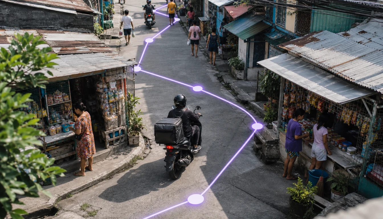
In Metro Manila and other dense urban areas, the constraint on a rep's working day is rarely travel time, it is call time and outlet count. A rep can walk or ride between outlets in minutes, so the limiting factor becomes how many productive calls can realistically be completed and serviced properly in a shift, particularly where tingi-driven restocking means individual sari-sari stores need visiting more often for smaller basket sizes. Territories here should be sized tighter geographically but with careful attention to call frequency, so a rep is not nominally responsible for more outlets than can be served with the attention each one needs.
Spread-out provincial territories: fewer outlets, longer travel
Provincial territories invert the problem. Outlet counts per barangay are lower, but the travel time between them is materially higher, and a territory that looks modest on an outlet-count basis can still consume most of a working day in transit. Sizing these territories fairly means weighting travel time and road quality as heavily as outlet count, and accepting that a smaller provincial territory by outlet number may be entirely reasonable at a lower planned call frequency than its metro equivalent.
Designing territory around road and inter-island freight together
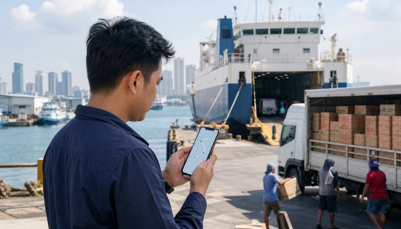
Where a territory has to bridge two islands, the boundary should be drawn around the freight and passenger connections that actually exist, not around geographic proximity. A ferry crossing that runs on a fixed weekly schedule effectively sets the outer limit of how often that leg of the territory can realistically be serviced, and a coverage plan that ignores the schedule will keep promising visit frequencies it cannot deliver. The same applies to a domestic flight leg used to reach a more distant provincial hub: it is a scheduled, capacity-constrained resource, not an equivalent substitute for a road trip, and it needs to be planned around rather than assumed away.
Building this into a coverage plan usually means treating the multi-modal leg as its own scheduled block rather than folding it into a standard daily route. A distributor might plan a fixed day or two each week for the inter-island leg of a territory, service every outlet reachable on that crossing in one pass, and keep the rest of the week for road-based coverage on the home island. This is closely related to route planning at the day-to-day level, but it starts one level up, at the territory-design stage, before a single day's route is ever sequenced. The same freight-schedule logic then cascades down into day-to-day beat planning for the reps working each side of the crossing.
Anchoring territory to the distribution hub network
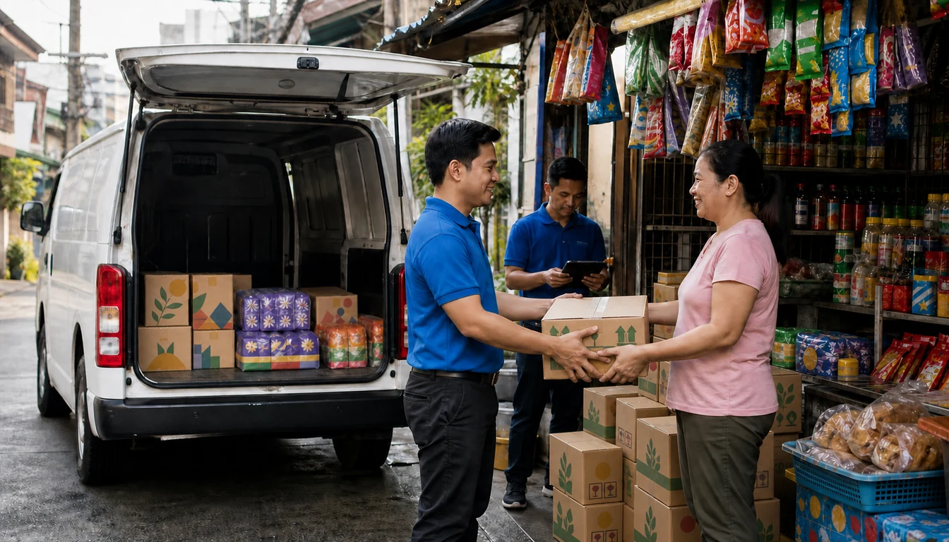
Territory lines work best when they follow the distribution chain that actually supplies the outlets inside them, distributor to sub-distributor or wholesaler to sari-sari store, rather than being drawn independently of it. A territory anchored to a hub in Metro Manila, Cebu or Davao inherits that hub's replenishment rhythm and stock position, so a rep's visit schedule and a warehouse's dispatch schedule can be planned against each other instead of drifting apart. Where a territory instead straddles two hubs' natural catchment areas, replenishment timing becomes inconsistent and outlets end up stocked out waiting on whichever hub happens to dispatch first.
This is also where a warehouse management view of stock position earns its keep in territory design. A hub with visibility into what is actually on the shelf and in transit can flag, before a rebalance happens, whether a proposed new boundary would leave a cluster of outlets further from reliable stock than they currently are.
Rebalancing territory as coverage grows
A territory map drawn today is not a permanent fixture. New residential and commercial development adds sari-sari stores and modern trade outlets to a barangay that had far fewer a year earlier, a distributor wins a new sub-distributor relationship that opens up a previously thin area, or a rep simply proves capable of covering more ground than the original plan assumed. Left unmanaged, these changes accumulate quietly until one territory is visibly overloaded and a neighbouring one is under-serving its outlets, and nobody redraws the line until call compliance or sales figures make the imbalance impossible to ignore.
Rebalancing works better as a scheduled review than a reactive fix. Comparing outlet count, achieved call frequency and travel time across territories on a regular basis, using distributor analytics rather than anecdote, makes it possible to catch an overloaded territory while the fix is still a modest boundary adjustment rather than a full redesign. The same data set is useful for spotting the opposite problem too, a territory that has quietly shrunk in relevance as a modern trade outlet or a wholesaler takes over demand a rep used to cover directly.
Building typhoon contingency into the coverage plan
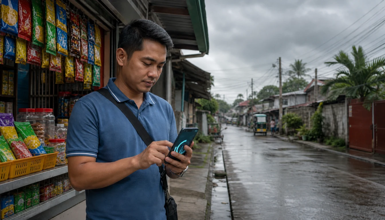
A territory plan that only accounts for normal conditions is incomplete in a market that sees an average of around twenty typhoons a year, several of which make landfall and disrupt ports, flights and roads for days at a stretch. Coverage planning has to include a fallback layer: which outlets in a given territory can still be reached by an alternative road route if the primary one floods, which inter-island leg has no realistic substitute and simply has to pause until conditions clear, and which nearby rep or sub-distributor could temporarily absorb calls for a territory that is cut off.
The practical output of this contingency layer is usually a short, pre-agreed reassignment plan rather than an improvised one worked out mid-storm. Knowing in advance that a neighbouring territory's reps can temporarily cover the road-reachable outlets of a territory whose inter-island leg is closed, while the remaining outlets simply wait for the crossing to reopen, turns a chaotic week into a manageable, communicated disruption. Field visibility matters here too. Field activity management that shows which outlets were and were not reached during a disruption gives a distributor an honest picture of what needs catching up once normal routing resumes, rather than an assumption that everything is fine because nobody reported otherwise.
Measuring whether a territory plan is actually working
A coverage plan is only as good as the evidence that it is holding up in practice. Outlet coverage percentage, the share of assigned outlets actually visited within the planned frequency, is the most direct signal, and it should be tracked separately for road-only territories and for those with an inter-island leg, since the two rarely perform the same. Productive call rate and average travel time per outlet round out the picture: a territory with strong coverage but very low productive call time is probably oversized on the travel side, while one with excellent productivity but patchy coverage is more likely a workload problem than a routing one.
Reviewing these figures at the territory level rather than only at the individual rep level is what makes rebalancing decisions defensible. A single rep's underperformance might be a training issue, but a pattern across every rep who has held a particular territory over time almost always points back to how the territory itself was drawn.
How 1Channel supports territory coverage planning in the Philippines
1Channel gives distributors and brands a single, data-led view of territory coverage instead of a static map redrawn once a year. Outlet counts, visit frequency, travel time and coverage percentage are tracked by territory, using sales analytics built for this, so an overloaded route or an under-served cluster of outlets shows up in the numbers before it shows up in lost sales, and boundaries can be adjusted with evidence rather than guesswork. Combined with multi-modal route planning that treats road and inter-island freight as distinct legs, and field visibility that keeps working when a typhoon disrupts the usual schedule, territory coverage planning becomes an ongoing, manageable process rather than a once-a-year exercise.
Redraw Territory Lines With Real Coverage Data
See how 1Channel helps distributors and brands plan, monitor and rebalance sales territory across Luzon, the Visayas and Mindanao, including the inter-island legs that most planning tools ignore.
Explore Territory Management →Key Takeaways
Territory coverage planning across the Philippines' island corridors is not a one-time drawing exercise, it is an ongoing balance between geography, workload and disruption. The main points to carry forward:
- Distance on a map is not distance in practice. A radius-based territory tool has no concept of a strait or a ferry schedule, and any boundary that crosses water needs to be planned around the freight and passenger connections actually available, not straight-line proximity.
- Island groups and hub cities are the right first cut. Anchoring territory design to Luzon, the Visayas and Mindanao, and to their commercial hubs Metro Manila, Cebu and Davao, keeps most of a rep's week within a single connected transport mode.
- Workload has to weigh density and travel time together. Dense metro territories are constrained by call time and outlet count; spread-out provincial territories are constrained by travel time between fewer outlets. Sizing either on outlet count alone misreads the real workload.
- Territory lines should follow the distribution chain. Anchoring a territory to the hub that actually supplies it keeps replenishment and visit schedules aligned, rather than drifting apart across two hubs' catchment areas.
- Rebalancing works best as a scheduled review, not a reactive fix. Comparing outlet count, call frequency and travel time by territory on a regular basis catches an overloaded route while the fix is still a modest adjustment.
- Typhoon contingency belongs in the plan, not in the response. A pre-agreed fallback, an alternative road route, a temporary reassignment between neighbouring territories, and honest visibility into what was missed, turns a seasonal disruption into a manageable one.