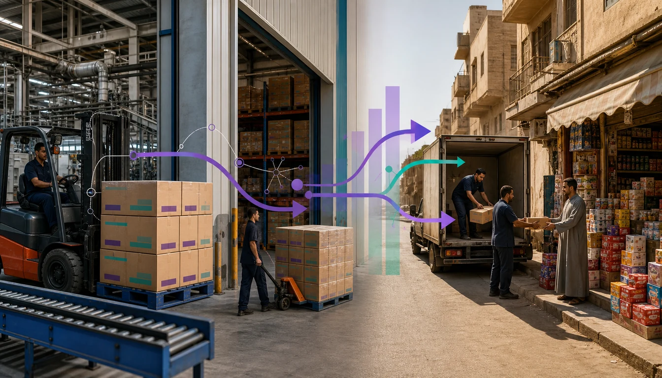
Egypt's trade geography turns on one fact of the map: most goods entering or leaving the country by sea pass near the Suez Canal corridor and land at one of the ports it feeds, chiefly Alexandria, Damietta and Port Said. For a distributor, that corridor is the backbone stock travels along before it ever reaches a territory plan, shaping where import-heavy goods naturally enter the country before moving inland to Cairo, Giza and beyond.
Once goods are inland, the territory-design problem changes shape. Greater Cairo and Giza pack huge numbers of baqalas, pharmacies and supermarkets into a small radius, where traffic and call density limit a rep's day rather than distance. Upper Egypt and the Delta stretch the same rep across far more kilometres, with fewer outlets per stop and patchier connectivity. One template cannot serve both realities well.
This guide covers how to design boundaries that reflect how trade actually moves rather than how a governorate map is drawn, how to balance rep workload between dense and sparse zones, and how territory design should feed directly into distributor appointment decisions and the beat plans reps execute daily.
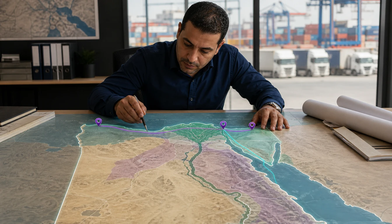
How Egypt's Trade Geography Sets the Map
Before drawing a boundary, separate the four geographies that make up most national territory plans. Each asks something different of a coverage plan, and confusing them is the most common planning mistake.
| Zone | Character | What defines coverage here |
|---|---|---|
| Greater Cairo & Giza | Dense urban core | Baqalas, pharmacies and modern-trade branches packed close together. Traffic and call density, not distance, limit a rep's day. |
| Alexandria & the northern Delta | Port city plus farmland | A Mediterranean port feeding a dense agricultural region. Coverage mixes port-city routes with market-town runs. |
| Suez Canal corridor: Damietta & Port Said | Logistics and free-zone artery | Import-facing distribution nodes and free-zone activity. Territory here is often the first leg inland, not dense retail coverage. |
| Upper Egypt (Sa'id) | Long, sparser governorates south of Cairo | Wide distances between towns, fewer outlets per stop, and connectivity that trails the big cities. Beats follow drive time, not a fixed radius. |
The informal trade that carries most of Egypt's grocery spending sits inside all four zones, just at different densities. A baqala on a Giza side street and one in a Delta market town are the same kind of outlet, but they need different visit economics to serve profitably.
Build a Geography Hierarchy That Matches Head Office, Not Just the Governorate Map
Egypt is organised into governorates, and it is tempting to build a territory tree that simply mirrors that administrative map. The trouble is that governorate lines were not drawn with retail density or logistics flow in mind, so a Giza-side neighbourhood and a satellite industrial city can sit in the same governorate while trading very differently.
A cleaner structure runs Region, then Governorate, then a trade cluster or zone, then the individual outlet. Satellite cities such as 6th of October City, 10th of Ramadan City, Obour City, New Cairo and Badr City deserve their own zone nodes rather than folding into a wider Cairo or Giza territory, because distribution centres and wholesale hubs cluster around them in ways a plain governorate label hides.
- One geography master, not several spreadsheets. When coverage, secondary sales and rep productivity read from the same hierarchy, a manager can compare a Giza cluster against an Upper Egypt zone on the same basis.
- Outlets belong to zones, not to reps. Pin every baqala, pharmacy and supermarket to a zone first, then attach it to a beat and a rep. When a rep leaves, the outlets stay put and the beat is simply reassigned.
Design Territory Boundaries Around the Way Reps Actually Travel
A sensible boundary reflects how long it takes a rep to reach and serve an outlet, not how much land a territory covers on paper. In Cairo and Giza, a small footprint can be a full day's work because of traffic and outlet density. Along the Suez Canal corridor and out into Upper Egypt and the Delta, a territory must stretch much further to gather enough call volume to justify a rep's day.
Two habits keep boundaries honest:
- Size by reachable calls, not square kilometres. Draw a boundary, then simulate a working day inside it. If a rep cannot realistically finish the calls before traffic or distance runs out the clock, the boundary is wrong, whatever the map suggests.
- Let corridor flow shape the edges. A territory that follows the road a distributor's stock actually travels, from a Suez Canal corridor entry point inland toward Cairo, tends to hold together better than one cut along an administrative line that ignores that flow.
Give Every Baqala a Findable Location
Formal street addressing thins out in dense informal quarters and smaller Upper Egypt and Delta towns. A GPS pin captured during the outlet survey, paired with a short landmark note, lets a new rep take over a beat without guessing which baqala a written address refers to.
Field-level trade language runs on spoken Egyptian Arabic, and English fluency is far from universal outside white-collar business circles, so the outlet record and field app should default to Arabic-first capture rather than a translated overlay.
Balance Rep Workload Between Dense and Sparse Territory
The most common territory-design mistake in Egypt is sizing every rep's patch by outlet count alone. A Giza rep with outlets on a few packed streets and an Upper Egypt rep with the same outlet count spread across three towns are not doing comparable jobs.
Workload should be balanced on what actually predicts a rep's day: travel time between stops, call duration, and road and connectivity conditions on the route.
- Smaller footprint, more stops for Cairo, Giza and Alexandria zones, where density is the constraint.
- Larger footprint, fewer stops for Upper Egypt and rural Delta zones, where distance and road quality set the pace.
- A standing review cadence. As a chain opens a branch in a satellite city or a market town grows, a boundary that made sense a year ago can quietly become unbalanced again.
Beat planning for a dense corridor is its own discipline, covered in this look at planning beats on Cairo's dense streets, but the same principle governs territory sizing: measure the day a rep can actually deliver, not the outlet list on a spreadsheet.
Connect Territory Design to Distributor Appointment and Beat Planning
Territory boundaries are not just a field-sales exercise. They are usually the same boundaries a brand or manufacturer uses to appoint a distributor in the first place. A zone defined sensibly, respecting how Cairo density differs from Upper Egypt sparsity and how the Suez Canal corridor feeds stock inland, gives a company a clean basis for deciding which distributor covers which ground.
Appointing distributors along boundaries that ignore trade reality creates the two problems distributors dread most: gaps where nobody covers a cluster of baqalas, and overlaps where two distributors' reps chase the same outlets. Both are avoidable once the zone hierarchy above becomes the single reference.
Once a distributor is appointed to a zone, that structure should carry through into their own distributor management setup and beat plans, so head office, the distributor and the field rep work from one outlet map. This matters more on the informal-trade side, where digitising the wholesaler and baqala network depends on everyone agreeing which outlet sits in which territory. Credit exposure follows the same logic: cash still dominates collections at the baqala tier, and a distributor extending running credit across a wide Upper Egypt zone needs that same clarity to keep exposure visible by zone, not only by rep.
Measure Coverage With Numbers That Actually Tell You Something
Drawing good boundaries is only half the exercise. The plan also has to be checked against what actually happened in the field, and a small set of honest metrics beats a crowded dashboard.
Metrics Worth Tracking
- Outlet coverage against plan. How many mapped outlets in a zone were actually visited this cycle. An uncovered-outlet list beats a single coverage percentage, because it names the exact baqalas that slipped.
- Visit compliance. Confirmed by a GPS-stamped, time-stamped check-in at the outlet, not a tick entered further down the street.
- Productive-call strike rate. A visit that produced an order counts for more than one that produced a shrug.
- EGP secondary sales by zone. Roll value up by zone, governorate and region so a Giza cluster compares against an Upper Egypt zone on a like-for-like basis. Primary and secondary sales visibility matters here because a territory can look healthy on primary billing while secondary sell-through quietly stalls.
Pitfalls to Avoid
- Overloaded dense beats. Packing more baqalas into a Cairo or Giza beat than traffic allows guarantees skipped stops.
- Under-serviced sparse zones. Cutting an Upper Egypt territory thin to save headcount leaves clusters of outlets visited once a quarter instead of on a real cycle.
- Coverage that lives on a personal phone. If the outlet map and beat history sit only with the rep, one resignation can cost a zone weeks of lost coverage.
A Greater Cairo Territory, Step by Step
Consider a household-goods distributor opening a new territory across the Nasr City and Heliopolis clusters of Cairo. Handing a rep a phone and a sales target rarely produces a durable territory. A structured build works better.
- Map the geography. Place the territory under Cairo governorate, split it into named clusters, and give any nearby satellite-city node its own zone rather than folding it in.
- Survey the outlets. Walk the streets once, GPS-pin every baqala, pharmacy and supermarket, and record a landmark note in Arabic and English.
- Size the beats to the day. Group outlets a rep can genuinely reach given traffic, then sequence the call list by distance.
- Set a visit cycle. High-value outlets see the rep weekly; smaller baqalas sit on a longer, still-scheduled loop.
- Review on the numbers. Each cycle, read the uncovered-outlet list and the EGP secondary-sales split by cluster, and re-cut any beat that keeps leaving the same shops behind.
The same five steps carry across to a Suez Canal corridor zone or an Upper Egypt governorate. Only the beat shape, the visit cycle and the distances change.
How 1Channel Helps Plan Territory and Coverage in Egypt
Territory and coverage planning gets easier when the geography hierarchy, the outlet map and the coverage reports live in one place instead of scattered spreadsheets. 1Channel gives distribution and FMCG teams across Egypt a single system built for that split between dense urban clusters and long corridor or Upper Egypt runs.
The platform carries a Region, Governorate and zone hierarchy that mirrors how head office already plans, pins every baqala, pharmacy and supermarket by GPS and landmark, and captures visits in Arabic-first mobile screens that keep working through patchy rural connectivity.
- Build a Region, Governorate and zone hierarchy instead of relying on administrative lines alone
- Pin outlets by GPS and landmark, then group them into travel-time-sized beats
- Capture visits, orders and stock checks offline and sync once signal returns
- Track outlet coverage, visit compliance and productive-call strike rate by zone
- Roll EGP secondary sales up by zone, governorate and region for like-for-like comparison
Plan Territory Around How Egypt Actually Trades
See how 1Channel's territory and beat management software builds a Region-Governorate-zone hierarchy and pins every baqala to an accountable rep.
Explore Territory Management Software →FAQs
What is the difference between a territory and a beat in Egypt?
A territory is the zone a rep, distributor or company owns, built from a Region-Governorate-zone hierarchy. A beat is the working unit inside it, the list of outlets one rep visits on one day, sequenced by travel time rather than drawn from a flat outlet list.
Why shouldn't territory boundaries just follow governorate lines?
Governorate lines were drawn for administration, not retail density or logistics flow. A satellite city, wholesale hub or corridor town can sit inside a governorate while trading very differently from the rest of it, so a boundary built only on the map tends to mis-size a rep's workload.
How do reps find baqalas that don't have a clear street address?
By combining a GPS pin from the outlet survey with a short landmark note, ideally recorded in Arabic as well as English. This lets a new rep take over a beat in a dense informal quarter or a smaller Upper Egypt town without guessing which shop a written address describes.
How should workload be balanced between Cairo and Upper Egypt?
Not by outlet count alone. A Cairo or Giza rep works a smaller footprint with many close-together stops, limited mainly by traffic, while an Upper Egypt or Delta rep needs a larger footprint with fewer stops, limited by distance and road conditions. Size each beat by the day it actually produces, then review the split as the market changes.
Which coverage metrics matter most for Egyptian distribution teams?
Outlet coverage against plan, GPS-confirmed visit compliance, productive-call strike rate, and EGP secondary sales rolled up by zone, governorate and region. An uncovered-outlet list is usually more actionable than a coverage percentage, because it names exactly which baqalas were missed.