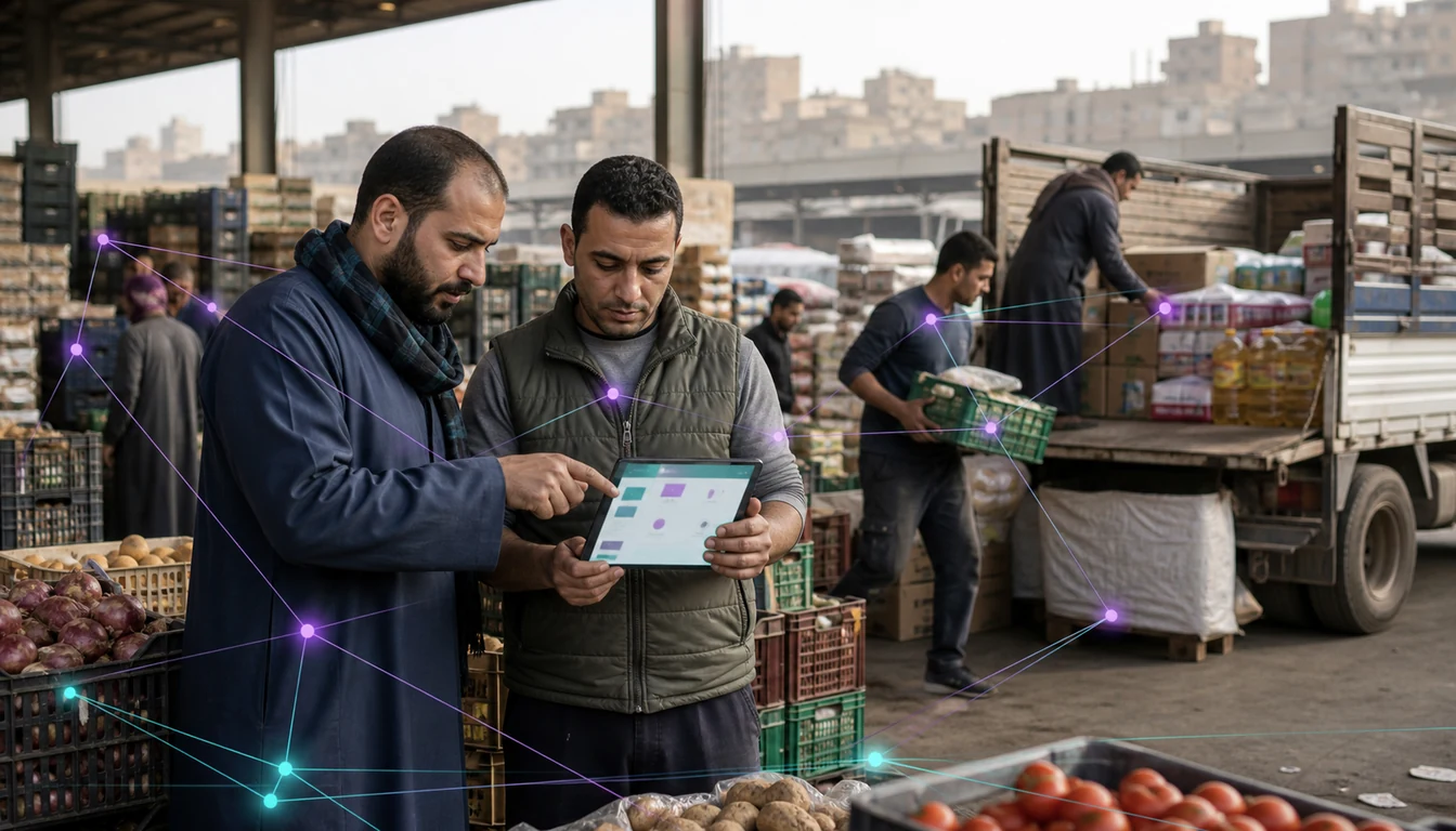
Most route-planning software assumes every outlet sits at a fixed, findable street address. In Cairo, Alexandria and Giza, a large share of the baqalas, souq stalls and small pharmacies carrying everyday FMCG volume simply do not have one. They sit down an alley off a numbered main road, behind a mosque, or a few doors past a bakery that changed hands last year.
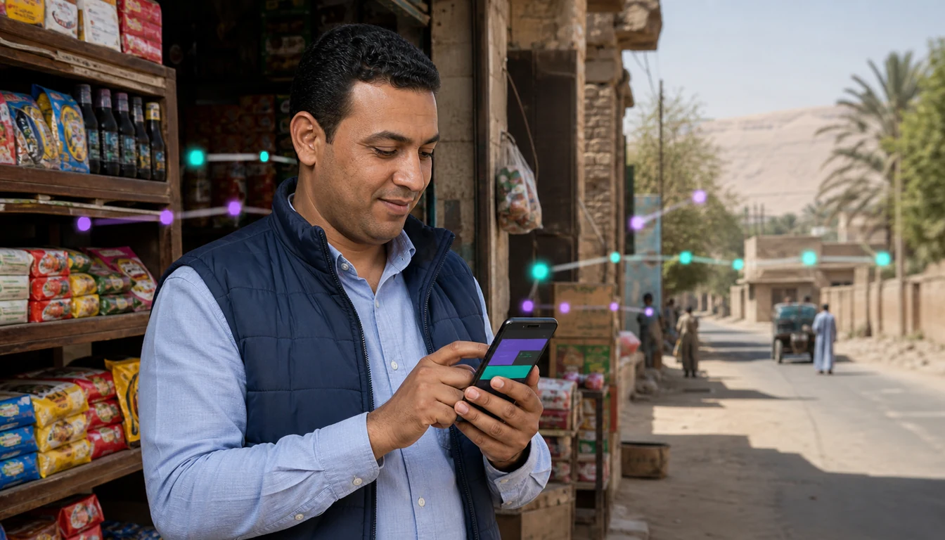
Travel south into Upper Egypt or across the Delta and the problem flips. Towns and rural governorates there are not short on addresses so much as short on outlets close enough together to visit efficiently. A rep is not weaving through a crowded lane, but driving between settlements that sit far apart on roads whose condition and travel time vary widely.
A beat plan built for one of these realities usually fails at the other. This piece looks at why address-based routing breaks down in dense Egyptian markets, how GPS and landmark mapping fixes it, and why sequencing stops by density and travel time, rather than raw distance, is what keeps a rep's day productive and a territory's coverage honest.
Why Street-Address Routing Fails in Egypt's Dense Districts
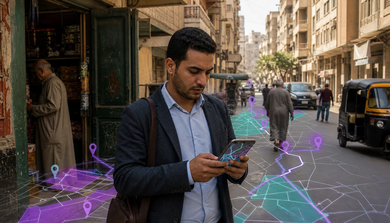
Formal addressing works reasonably well for large avenues and registered commercial buildings. It breaks down in the side streets and informal clusters where most outlets actually trade, and a distributor covering Giza or the older quarters of Alexandria cannot hand a new rep a list of building numbers and expect visits to happen on schedule.
Several things compound the problem, and none are solved by asking outlet owners to be more precise.
What Makes Cairo, Alexandria and Giza Different
- Side streets are informally named, or not named at all. A lane known to everyone who trades on it gets described two different ways by two different reps.
- Building numbers are inconsistent or absent. A baqala squeezed between two larger shopfronts often has no number of its own, only a position relative to a nearby landmark.
- Density multiplies the confusion. Where dozens of small outlets sit within a few hundred metres, "the baqala near the pharmacy" can point to more than one shop.
- Turnover changes the reference points. A shop described by its neighbour's signage stops making sense once that neighbour closes or rebrands.
The outcome is predictable: tidy-looking beat plans that fall apart on the ground, coverage reports nobody quite trusts, and reps relying on memory rather than the tool they were given. The fix is not a better address field. It is capturing where an outlet actually is, once, in a form that never depended on a street naming convention at all.
Mapping Outlets by GPS and Landmark, Not Address
Once an outlet is captured by its physical location rather than a written address, the problem stops recurring. A rep visiting a baqala for the first time records its coordinates from the shopfront, with a short description in whichever language the field team actually uses day to day. From then on, the outlet is findable by its pin and landmark note, not by a street reference that was never reliable.
What to Capture When Onboarding a Baqala
- A GPS pin taken at the shopfront, not from a car passing on the main road, so the coordinate sits on the outlet itself.
- A landmark description a stranger could follow, built around a mosque, a school gate, a well-known pharmacy or a fixed piece of signage.
- A photo of the storefront, so the next rep recognises the shop even if the owner is elsewhere that day.
- Channel and format tags, distinguishing a baqala from a souq stall, pharmacy or modern-trade branch.
- The wholesaler or distributor the outlet is served through, keeping coverage tied to the right part of the supply chain.
With that record in place, outlets can be grouped by where they actually sit rather than by how someone once described them. Geofencing then confirms a visit happened at the outlet itself, not somewhere in its general vicinity, which is what makes beat compliance figures worth reading. The same discipline pays off when digitising a wholesaler's baqala network, since a clean outlet base underpins every other reporting layer.
Density in Cairo, Alexandria and Giza vs the Long Hauls of Upper Egypt and the Delta
Beat planning in Egypt is really two design problems wearing the same name. Greater Cairo, Alexandria and Giza pack large numbers of outlets into a small area, so the challenge is disentangling a crowded map into loops a rep can walk in a day. Upper Egypt and the rural Delta governorates present the opposite challenge: outlets spread across long distances, on roads whose quality and travel time vary far more than a straight-line distance would suggest.
What Changes When Distances Grow
- Connectivity gets patchier further from the main urban centres, so plans built for constant signal do not survive a rural route.
- Travel time stops correlating with distance. Two outlets that look close on a map can sit on either side of a poor road, adding far more time than the kilometres suggest.
- Visit frequency has to flex with the drive. A rep who spends most of a morning reaching one cluster cannot realistically call on it twice a week.
- Fuel and vehicle time become a real constraint, unlike for a rep working entirely on foot in a dense district.
Treating both as the same routing problem is where most beat plans go wrong. A single national rule, whether "visit every outlet weekly" or "cluster by a fixed radius", flatters the dense districts and quietly starves the rural ones, or the reverse.
Sequencing Stops by Density and Travel Time, Not Raw Distance
The fix is to sequence stops by how long they take to reach and work, not by how far apart they look on a straight line. That means two different sequencing logics inside the same platform.
Cluster First, Then Order the Loop
Inside a dense cluster in Cairo, Alexandria or Giza, group outlets that sit close together into a single day's beat, then sequence the stops so the rep walks a sensible loop instead of criss-crossing the same lane. In Upper Egypt or a Delta governorate, the same logic applies at a larger scale: group outlets along a viable driving loop, order them by realistic travel time, and build in what a poor road segment actually costs rather than assuming a fixed speed throughout.
| Setting | What sequencing should optimise for |
|---|---|
| Dense urban cluster (Cairo, Alexandria, Giza) | Shortest walkable loop, no backtracking through the same street |
| Upper Egypt / Delta long routes | Realistic travel time between stops, accounting for road quality |
| Mixed territory with both | Separate beats by setting rather than one blended route |
Frequency should follow the same logic. A high-throughput baqala or pharmacy on a busy Cairo side street can justify a weekly call. A smaller outlet on a long Upper Egypt loop may only be reachable on a longer cycle, and that is a planning decision rather than a coverage failure. Assigning beats by rep, cluster and day, rather than leaving reps to improvise each morning, also keeps territory coverage from quietly drifting as staff change.
What Disciplined Beat Planning Does for Rep Productivity and Coverage
None of this matters unless it shows up in numbers a sales manager can actually act on. A handful of measures, read together rather than in isolation, tell you whether a beat plan is working or just looking tidy.
Metrics Worth Watching
- Beat compliance: outlets visited against outlets planned, by rep and by day, as the headline coverage figure.
- Visit productivity: outlets worked per day alongside time spent at each stop, separating a rep who is genuinely selling from one simply checking a box.
- Geofence pass rate: the share of check-ins landing inside the outlet's mapped location rather than some distance away.
- New outlet onboarding: how many previously unmapped baqalas and souq stalls were added with a proper GPS pin.
The pitfalls repeat too. Vanity coverage shows up when every outlet is marked visited but very little selling happens, which is why beat compliance needs to sit next to visit duration and order capture, not stand alone. Pin drift happens when a coordinate is captured from a moving vehicle rather than the shopfront, quietly pushing a location onto the wrong street. Ghost outlets, duplicate records for the same baqala under two slightly different landmark notes, inflate the outlet base until they are cleaned up. All three are solved by the same discipline that made mapping work: capture properly once, and audit the outliers.
Where a distributor is also working through order-to-cash alongside beat planning, tying a confirmed, geotagged visit to the order it produced gives a cleaner picture of what a rep's day delivered. And because signal thins out well before a rep reaches the edge of a rural beat, the same discipline behind offline-first field sales is what keeps GPS-based capture reliable on the long Upper Egypt and Delta routes.
How 1Channel Helps With GPS-Based Beat Planning
Beat planning across Egypt's dense districts and its long rural routes is not a problem a single national rule can solve. It needs outlets mapped by where they physically sit, beats sequenced for the setting they are in, and metrics that separate real coverage from a tidy-looking report.
1Channel is built around exactly that distinction. Instead of depending on a street address a baqala may never have had, the platform anchors every outlet to a GPS pin and landmark note captured on site, then lets a distributor sequence and measure beats accordingly.
For teams covering Cairo, Alexandria, Giza and the routes beyond them, the platform helps you:
- Onboard every baqala, souq stall and pharmacy with a GPS pin, landmark note and storefront photo
- Cluster dense-district outlets into walkable loops and sequence rural routes by realistic travel time
- Assign beats by rep, cluster and day, so frequency matches throughput rather than one blanket rule
- Confirm visits with geofencing and track beat compliance, productivity and geofence pass rate together
- Keep the outlet base clean by flagging pin drift and duplicates before they distort coverage figures
Build Beats That Match Egypt's Streets, Not a Map's Straight Lines
See how 1Channel's route planning software helps Egyptian distribution teams map outlets by GPS, sequence beats by density and travel time, and confirm every visit with offline-first check-ins.
Explore Route Planning Software →Key Takeaways
- Address-based routing fails where most Egyptian outlets trade. Baqalas, souq stalls and pharmacies in dense districts rarely have a usable formal address.
- Map outlets by GPS pin and landmark, once. A coordinate captured at the shopfront, paired with a landmark note and photo, replaces an address that was never reliable.
- Cairo, Alexandria and Giza need a different sequencing logic than Upper Egypt and the Delta. Dense districts call for tight walkable loops; long rural routes call for sequencing by travel time, not straight-line distance.
- Frequency should follow throughput, not a blanket rule. A busy urban baqala can justify a weekly call; an outlet on a long rural loop may only suit a longer cycle.
- Coverage numbers are only useful read together. Pair beat compliance with visit duration and geofence pass rate, and watch for vanity coverage, pin drift and ghost outlets.
- Clean mapping underpins everything downstream. Reliable outlet locations make offline capture, order-to-cash reconciliation and territory coverage reporting trustworthy.