Territory design in Ghana is an economics problem before it is a mapping problem. Outlets are not spread evenly across the country, travel time between them varies enormously from one region to the next, and the cost of holding a representative on a route is broadly the same wherever that route runs. Every serious coverage decision follows from that mismatch.
The Shape of Ghana's Selling Map
Ghana has sixteen regions. The count rose from ten after the December 2018 referendum and was formalised in 2019, so any coverage model still built on the older map is describing a country that no longer exists administratively. Below the region sits the second tier that field teams actually work in: the Metropolitan, Municipal and District Assemblies, usually shortened to MMDAs. Districts are live units here, with their own boundaries, their own market towns and their own reporting identity, which makes them the natural building block for a territory master.
Commercial weight, though, is concentrated. Greater Accra and Ashanti carry the bulk of FMCG manufacturing and distribution, and therefore the bulk of the field force. Accra, Tema, Ashaiman and Madina form one continuous trading mass, and Kumasi anchors the middle belt with the largest single market in West Africa on its doorstep. A brand can put dozens of representatives inside those two regions and still leave outlets uncovered. The same brand may run a single representative across an entire northern region and struggle to justify the salary.
Between those extremes sit Western, Central, Eastern, Volta and the Bono regions, where density falls away steadily as routes move inland. A national coverage plan is therefore several different coverage models sharing one set of targets, and pretending otherwise is what produces beats nobody can complete.
Why a Beat That Works in Accra Fails in Upper West
The unit that matters is not calls per day. It is cost per productive call, measured in GHS and compared against the gross margin the average outlet on that beat actually returns.
Density Sets the Achievable Call Rate
In a dense Accra beat, provision shops, kiosks, container shops and table-top sellers sit within walking distance of one another, and a representative can work a long list because almost no time is lost between calls. Drop that same target into Upper West or Savannah, where outlets are strung along a road with real distance between clusters, and the day is consumed by travel. The representative is not underperforming. The plan is.
Travel Time Sets the Route Shape
Sparse territory rewards a different route shape entirely: fewer visit days, longer loops, a lower call frequency per outlet, larger drop sizes to compensate, and market-day cycles used as anchors rather than ignored. Many smaller towns still trade to a traditional market-day rhythm, so a beat that arrives on the wrong day of the week finds half its outlets shut and the other half unwilling to buy. Harmattan from December adds another variable on northern routes, slowing journeys and shifting what sells.
Frequency is the honest lever. A high-turnover outlet in a dense southern beat may justify a weekly call; a low-volume kiosk four hours out may justify a monthly one, with a wholesaler covering the gap. Setting one national frequency and then blaming execution is expensive in both directions: over-serviced small outlets in the south, abandoned ones in the north.
Designing Territories by Density and Travel Time
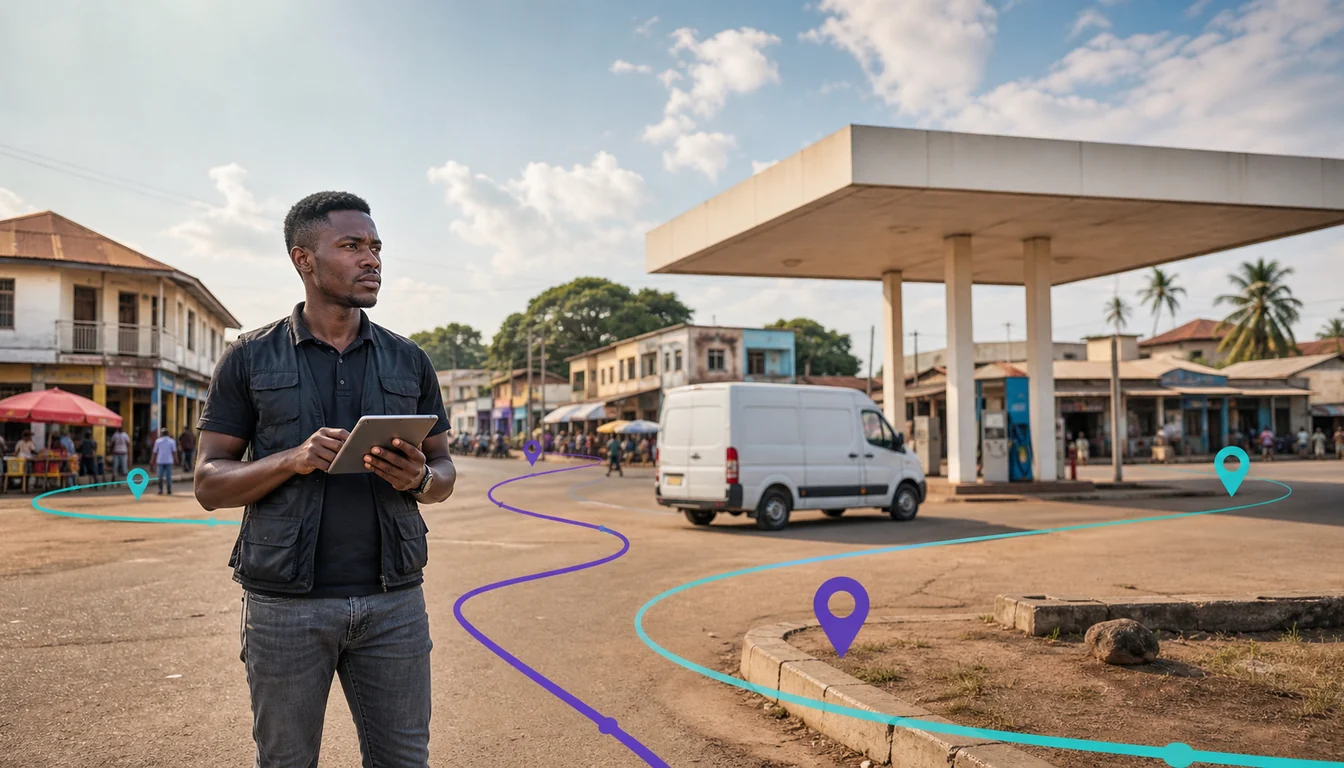
The starting point is an outlet master that reflects reality rather than paperwork. Ghana has an official national digital addressing system in GhanaPostGPS, dividing the country into small grid squares with a code for each, but day-to-day adoption is uneven and navigation on the ground is still landmark-led: opposite the filling station, behind the lorry station, third kiosk after the junction. Geo-tagging every outlet at the point of first visit, rather than relying on a written address, is what makes a beat repeatable by the next representative who inherits it. That problem is worth reading about on its own in our piece on beat planning across Ghana when the address is a landmark.
With geo-tagged outlets in place, territories can be cut the way the work is actually done. Cluster outlets by proximity and by the road that links them, then measure the travel time between clusters instead of the distance, because a short distance through Kumasi traffic and a long run on open savannah road are not comparable. Balance territories by workload rather than by area or by outlet count alone, so that a representative covering a wide, thin patch carries fewer outlets and a longer cycle. Then let route planning hold the resulting sequence, and let a sales force automation app enforce it in the field with geo-verified check-ins rather than a signature in a book.
One further design point is specific to Ghana. Coverage genuinely thins across the Savannah, North East, Upper East, Upper West, Oti and Bono East regions and on rural cocoa and agricultural routes, so a device on a northern beat will lose signal during the working day. Any territory that reaches into those regions must be served by an app that captures orders, stock checks and outlet updates locally and syncs when the connection returns, a point covered in more detail in our post on offline-capable field sales for Ghana's northern and rural routes.
When the Administrative Boundary Is Still the Right Unit
None of this means the region and the district stop mattering. They remain the right unit in three situations, and territory models that ignore that end up maintaining a second set of records by hand.
The first is reporting. Management, trade partners and boards ask for performance by region, and a sales number that cannot be rolled up to a named region and district is a number that gets rebuilt in a spreadsheet every month. The second is distributor appointment. A key distributor's contract defines an appointed territory in administrative language, because that is the only language that stands up commercially. The third is compliance and correspondence. Records that support tax and regulatory obligations, from Ghana Revenue Authority invoicing through the Certified Invoicing System to Food and Drugs Authority matters in food and pharma, are organised around named places, not around a route number a planner invented last quarter.
The workable answer is two structures on the same outlet record: an operational territory built from density and travel time, which drives who visits what and when, and an administrative attribute carrying the region and the MMDA, which drives how everything is reported. Get that pairing right in territory management and the route planner and the finance report stop disagreeing.
The Key Distributor's Territory and What Happens at Its Edges
Ghana's dominant channel model is the key distributor, or KD: an appointed distributor holding a defined territory for a brand, feeding wholesalers and sub-distributors, who in turn serve provision shops, kiosks, table-top sellers and market stalls. The structural complication is that the KD employs the selling team while the brand employs the supervisory layer, so visibility of what moves after the sell-in depends entirely on what the KD's own systems capture.
Edges are where territory plans break. A wholesaler buying inside one KD's area and selling across into a neighbouring one is a normal feature of this market rather than an exception, particularly around large transit markets where buyers arrive from several regions in the same week. It happens for ordinary reasons: a scheme running harder in one territory, a stock position that is long in one depot and short in the next, or a buyer who has always bought there. The effects are not ordinary at all. The receiving KD sees its own secondary sales fall while its stock ages, the selling KD hits targets on volume that never reached its own outlets, scheme spend lands where it was not budgeted, and the brand's regional performance picture stops describing anything real.
Detection is the practical response, not prohibition. Outlet-level secondary sales capture shows where cases actually landed, batch and code tracking shows which consignment travelled, and distributor-side reporting through a distributor portal narrows the gap between sell-in and sell-out. Our post on closing the secondary sales gap below Ghana's key distributors goes further into that mechanism. Once cross-territory movement is visible, it becomes a commercial conversation about pricing and scheme design rather than an argument about who is lying.
Tema, Takoradi and the Corridors Behind Every Plan
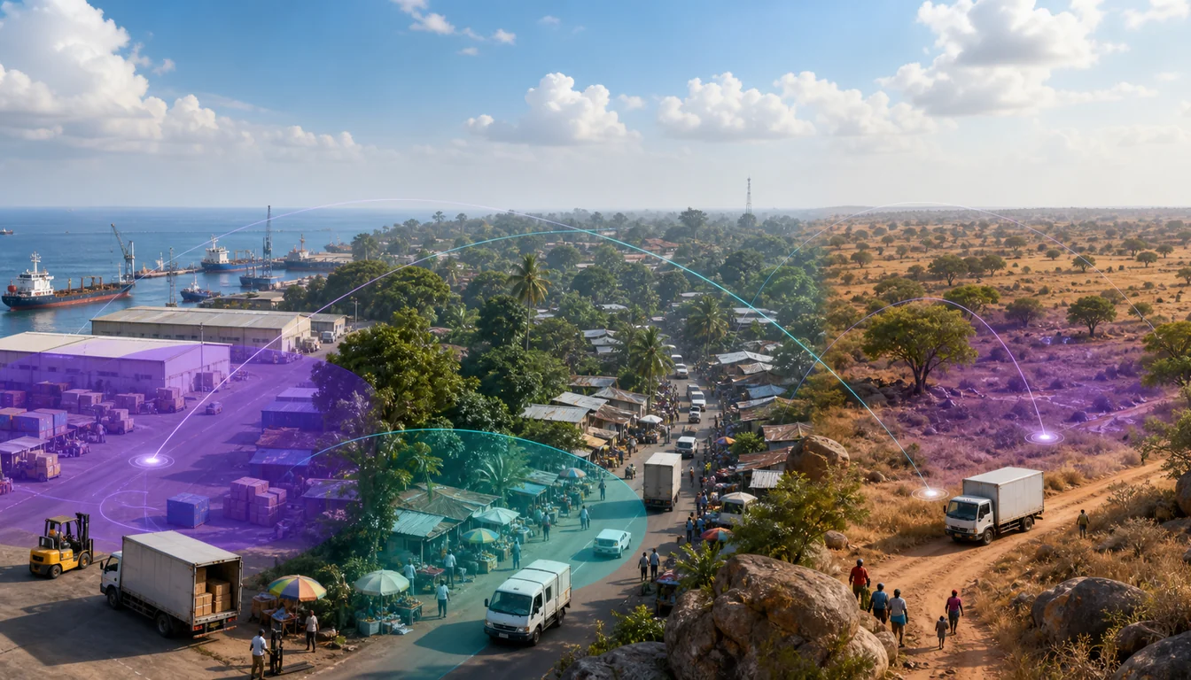
Territory plans in Ghana are shaped by two ports. Tema is the main container gateway and feeds Accra and, through the corridor running north, the rest of the country. Takoradi handles bulk cargo along with oil and gas, and increasingly serves Sahel transit traffic. Ghana is a significant transit gateway for the landlocked Sahel, with the Tema to Ouagadougou corridor and the Takoradi corridor carrying goods towards Burkina Faso, Mali and Niger. A rail corridor from Takoradi to Hamile has been discussed but is not built, so every plan drawn today is a road plan.
Two consequences follow for coverage. Replenishment lead times lengthen predictably the further a territory sits from a port, so northern territories need larger safety stock at the distributor and a longer order-to-delivery assumption built into the beat cycle rather than discovered mid-month. And the corridors that carry transit freight also carry the wholesale trade supplying inland outlets, which is why the great inland transit markets, Techiman for foodstuffs and the northern wholesale tier around Tamale, pull buyers from well beyond their own districts. A territory drawn tidily around a district boundary next to one of those markets describes a trading pattern that does not exist.
A Coverage Review Cycle That Holds Up
Territories are not a one-off exercise. Outlets open and close, roads improve, distributors change, and demand moves with the calendar. Christmas and Easter are the FMCG peaks and pull effort towards dense urban beats where volume responds quickest, while Homowo, Odwira and Akwasidae in the south and Damba and Eid in the north lift specific regions at specific moments. The cocoa main crop from around October changes rural liquidity across the growing belt, and the light crop does the same mid-year on a smaller scale.
A quarterly review with a short, fixed agenda is enough: which outlets were never visited, which beats consistently run over time, which territories carry a workload no one can finish, where new outlets have been captured that no beat yet includes, and where cross-territory supply is showing up in the numbers. Running that review off sales analytics rather than off anecdote is what keeps it honest, because the representative with the hardest territory is rarely the loudest voice in the room.
How 1Channel Helps Territory and Coverage Planning in Ghana
1Channel gives brands and their key distributors one structure for territory, route and coverage across all sixteen regions, so the operational plan and the administrative report come from the same records instead of two parallel systems.
It is built for the way Ghanaian coverage actually varies, from a walking beat through a dense Accra neighbourhood to a monthly loop across a sparse northern region.
- Geo-tagged outlet masters that record provision shops, kiosks, container shops, table-top sellers and market stalls by their real location, with the region and MMDA held as reporting attributes alongside the operational territory.
- Beat and route planning built on travel time and outlet density, with different call frequencies for dense southern beats and long northern loops, and market-day cycles respected in smaller towns.
- Offline capture on the mobile app for routes across the Savannah, North East, Upper East, Upper West, Oti and Bono East regions, with orders and surveys syncing once signal returns.
- Key distributor territory definition with outlet-level secondary sales capture, so cross-territory selling by wholesalers is visible rather than inferred, and scheme spend can be traced to where it actually landed.
- Coverage and productivity reporting in GHS by region, district, territory, beat and representative, including unvisited outlets and beats running consistently over plan.
- Collections recorded across mobile money and cash at the point of delivery, matching how outlets in every tier actually pay, with records that support the invoicing every VAT-registered business already issues through a Certified Invoicing System connected to the Ghana Revenue Authority.
Design Territories That Match Ghana's Real Geography
See how 1Channel's territory management holds operational beats and administrative regions in one structure, from a dense Accra route to a monthly northern loop.
Explore Territory Management Software →Key Takeaways
Coverage planning in Ghana rewards teams that treat the south and the north as different economic problems solved by the same platform.
- Sixteen regions, and districts that count. Ghana has had sixteen regions since 2019, with the Metropolitan, Municipal and District Assemblies as a live second tier, so both levels belong on the outlet record.
- Volume concentration drives headcount. Greater Accra and Ashanti carry most FMCG distribution and therefore most of the field force, while northern regions need a fundamentally different route model rather than a thinner version of the same one.
- Cut territory by density and travel time. Cluster outlets by proximity and the road that links them, balance by workload rather than area, and set call frequency per beat instead of nationally.
- Keep the administrative boundary for reporting. Region and district remain the right unit for management reporting, key distributor appointment and regulatory records, which is why the operational territory and the administrative attribute must sit side by side.
- Watch the edges of every appointed territory. Wholesalers selling across into a neighbouring key distributor's area distort secondary sales, scheme spend and regional performance until outlet-level capture makes the movement visible.
- Plan around the ports and the calendar. Tema and Takoradi feed the whole chain, including Sahel transit by road, so lead times lengthen with distance from the coast, and festive, harvest and harmattan cycles should be built into the review rather than discovered late.
Territory design is never finished, but it does become manageable once the plan is built from evidence about where outlets are, how long it takes to reach them and what they actually buy. That evidence has to come from the field, captured on every visit, in a form that reports cleanly by region and district and by beat at the same time.